


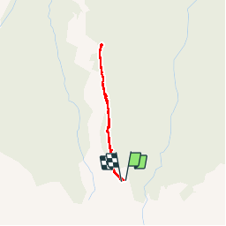


7.9 km | 13.8 km-effort

User


FREE GPS app for hiking
 SityTrail
IGN / Geographical institutes
SityTrail World
The world is yours!
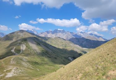
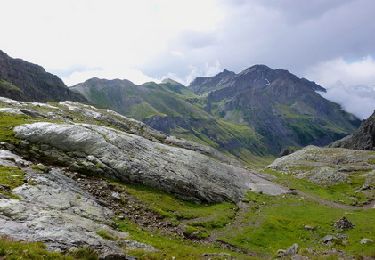
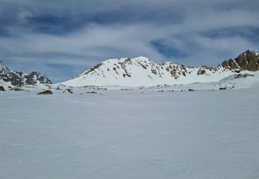
Trail Snowshoes of 2.4 km to be discovered at Provence-Alpes-Côte d'Azur, Hautes-Alpes, Le Monêtier-les-Bains. This trail is proposed by aja.
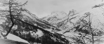
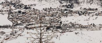
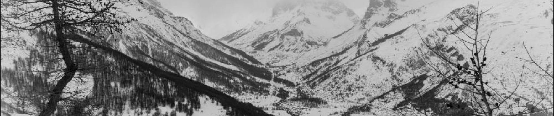
L'intérêt de cette balade tient au point de vue sur Le Monêtier-les-Bains et l'ensemble de la vallée depuis le Belvédère du Clôt du Refour. Attention la montée est au retour !


Walking
Walking

Walking
Walking
Walking
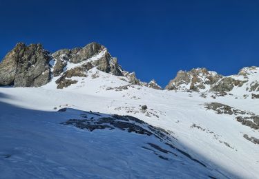
Touring skiing
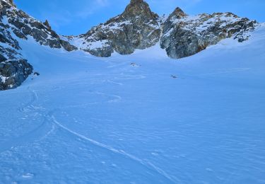
Touring skiing
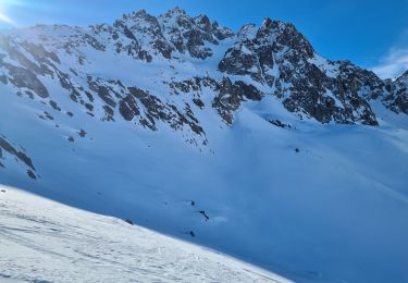
Touring skiing
Touring skiing